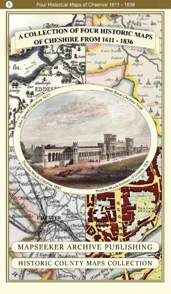
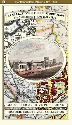
A Cheshire 1611 - 1840 - Fold Up Map that features a collection of Four Historic Maps, John Speed's County Map 1611, Johan Blaeu's County Map of 1648, Thomas Moules County Map of 1840 and Cole and Roper's Plan of the City of Chester 1805.
Specificaties
Paperback, 0 blz.
|
EN
Historical Images Ltd |
e druk, 2018
ISBN13: 9781844918485
Rubricering
Onderdeel van serie
Historic English Counties Map Collection
Levertijd ongeveer 7 werkdagen