Mapseeker Publishing Ltd.
Historical Images Ltd
e druk, 2019
9781844918454
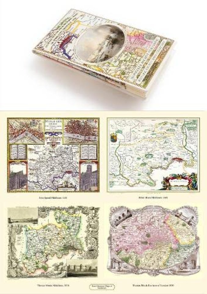
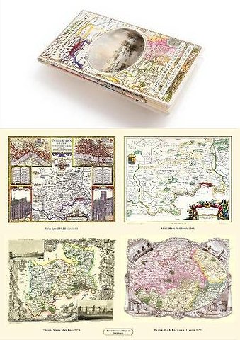
A Middlesex 1611 – 1836 – Fold Up Map that features a collection of Four Historic Maps, John Speed’s County Map 1611, Johan Blaeu’s County Map of 1648, Thomas Moules County Map of 1836 and a Map of the Environs of London 1836.
Specificaties
Paperback, 1 blz.
|
EN
Historical Images Ltd |
e druk, 2019
ISBN13: 9781844918454
Rubricering
Onderdeel van serie
Historic Counties Maps Collection
Levertijd ongeveer 7 werkdagen