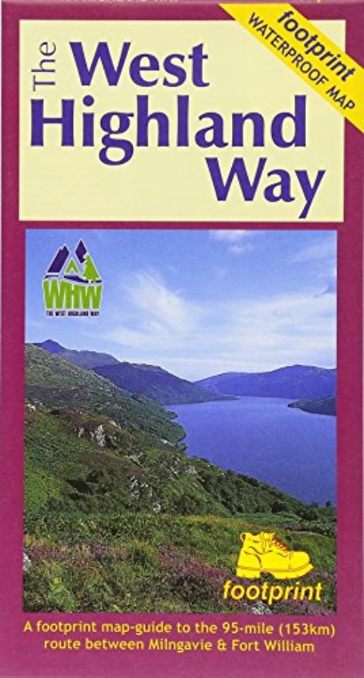
The West Highland Way (Footprint Map)
A Footprint Map-Guide to the 95 Mile Route Between Milngavie and Fort William
Specificaties
Onbekend, 0 blz.
|
EN
Footprint Maps |
e druk, 2017
ISBN13: 9781871149937
Rubricering
Levertijd ongeveer 7 werkdagen
Samenvatting
The West Highland Way waterproof map from Footprint is a map-guide to the 95 mile (153km) route between Milngavie and Fort William. The mapping is based on Ordnance Survey data at a scale of 1:40,000, with compact and concise information for walkers.
Specificaties
ISBN13:9781871149937
Taal:EN
Bindwijze:onbekend
Uitgever:Footprint Maps