Mapseeker Publishing Ltd.
Historical Images Ltd
e druk, 2014
9781844918355
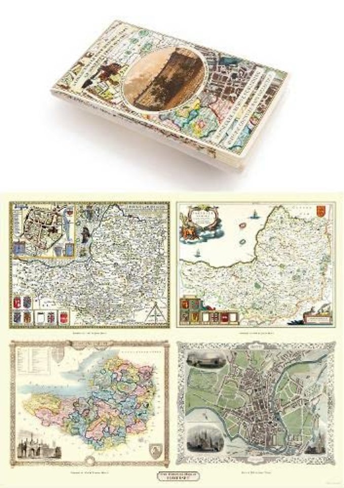
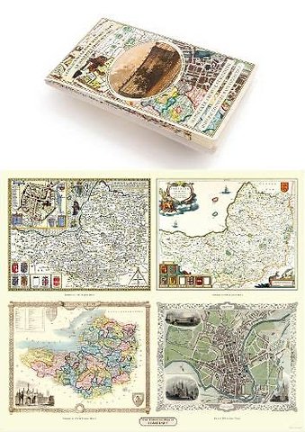
Somersetshire 1611 - 1836 - Fold Up Map that features a collection of Four Historic Maps, John Speed's County Map 1611, Johan Blaeu's County Map of 1648, Thomas Moules County Map of 1836 and a Plan of the City of Bath from 1851 by John Tallis. The maps fe
Specificaties
Onbekend, 1 blz.
|
EN
Historical Images Ltd |
e druk, 2014
ISBN13: 9781844918355
Rubricering
Onderdeel van serie
Historic Counties Maps Collection
Levertijd ongeveer 7 werkdagen