
Mapseeker Publishing Ltd.
Historical Images Ltd
e druk, 2014
9781844918348
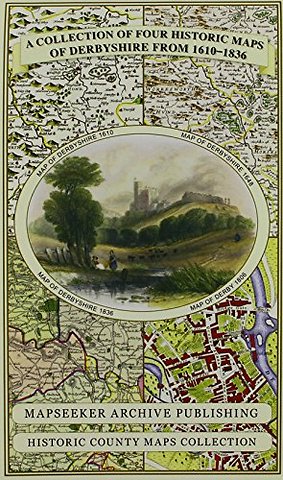
Derbyshire 1610 - 1836 - Fold Up Map that features a collection of Four Historic Maps, John Speed's County Map 1611, Johan Blaeu's County Map of 1648, Thomas Moules County Map of 1836 and Cole and Roper's Plan of the City of Derby 1806. The map's also fea
Specificaties
Onbekend, 1 blz.
|
EN
Historical Images Ltd |
e druk, 2014
ISBN13: 9781844918348
Rubricering
Onderdeel van serie
Historic Counties Maps Collection
Levertijd ongeveer 15 werkdagen