Mapseeker Publishing Ltd.
Historical Images Ltd
e druk, 2014
9781844918256
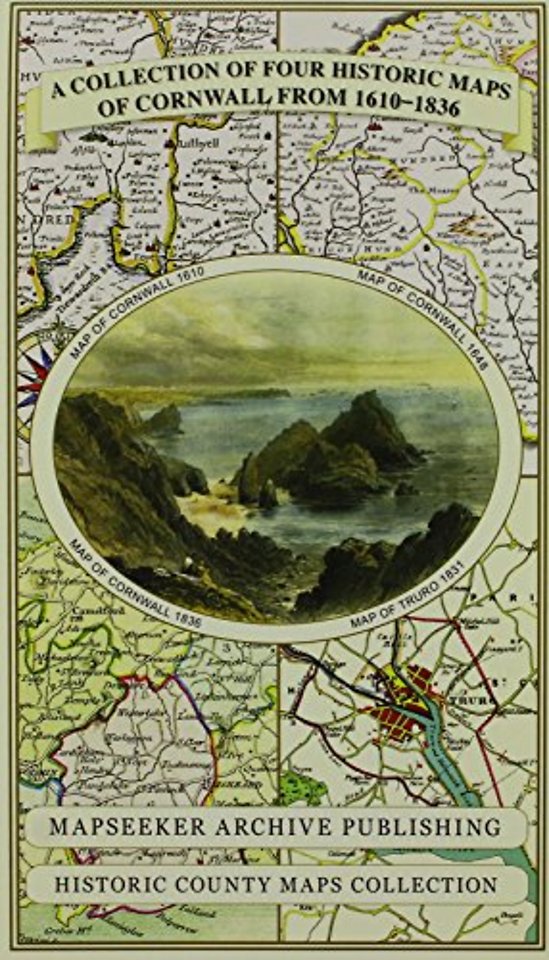
Cornwall 1611 - 1836 - Fold Up Map that features a collection of Four Historic Maps, John Speed's County Map 1611, Johan Blaeu's County Map of 1648, Thomas Moules County Map of 1836 and Robert Dawson's Reform Act Plan of Truro 1831. The maps are surrounde
Specificaties
Onbekend, 1 blz.
|
EN
Historical Images Ltd |
e druk, 2014
ISBN13: 9781844918256
Rubricering
Onderdeel van serie
Historic Counties Map Collection
Levertijd ongeveer 15 werkdagen