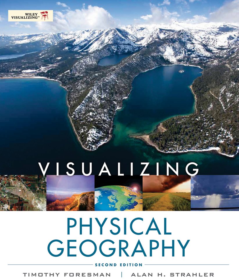
Visualizing Physical Geography 2E WSE
Samenvatting
With its unique approach, Visualizing Physical Geography 2nd Edition captures the reader's attention and demonstrates why physical geography is relevant to them. It relies heavily on the integration of National Geographic and other visuals with narrative to explore key concepts. New emphasis is placed on environmental issues, such as climate change, overpopulation and deforestation, from a geographical perspective.
Readers will appreciate this approach because it vividly illustrates the interconnectedness of physical processes that weave together to create our planet's dynamic surface and atmosphere.
Specificaties
Inhoudsopgave
1 Discovering the Earth′s Dimensions
2 The Earth′s Global Energy Balance
3 Air Temperature
4 Atmospheric Moisture and Precipitation
5 Global Atmospheric and Oceanic Circulation
6 Weather Systems
7 Global Climates and Climate Change
8 Earth from the Inside Out
9 Plate Tectonics, Earthquakes, and Volcanoes
10 Weathering and Mass Wasting
11 Fresh Water of the Continents
12 Landforms Made by Running Water
13 Landforms Made by Wind and Waves
14 Glacial and Periglacial Landforms
15 Global Soils
16 Biogeographic Processes
17 Global Biogeography
Appendix:
Answers to Self–Tests
Glossary
References
Text, Table and Line Art Credits
Photo Credits
Index


